Driving the Georgian Military Highway
It is 156 kilometres from Tbilisi to Stepantsminda. Google says three hours. Google has never driven it.
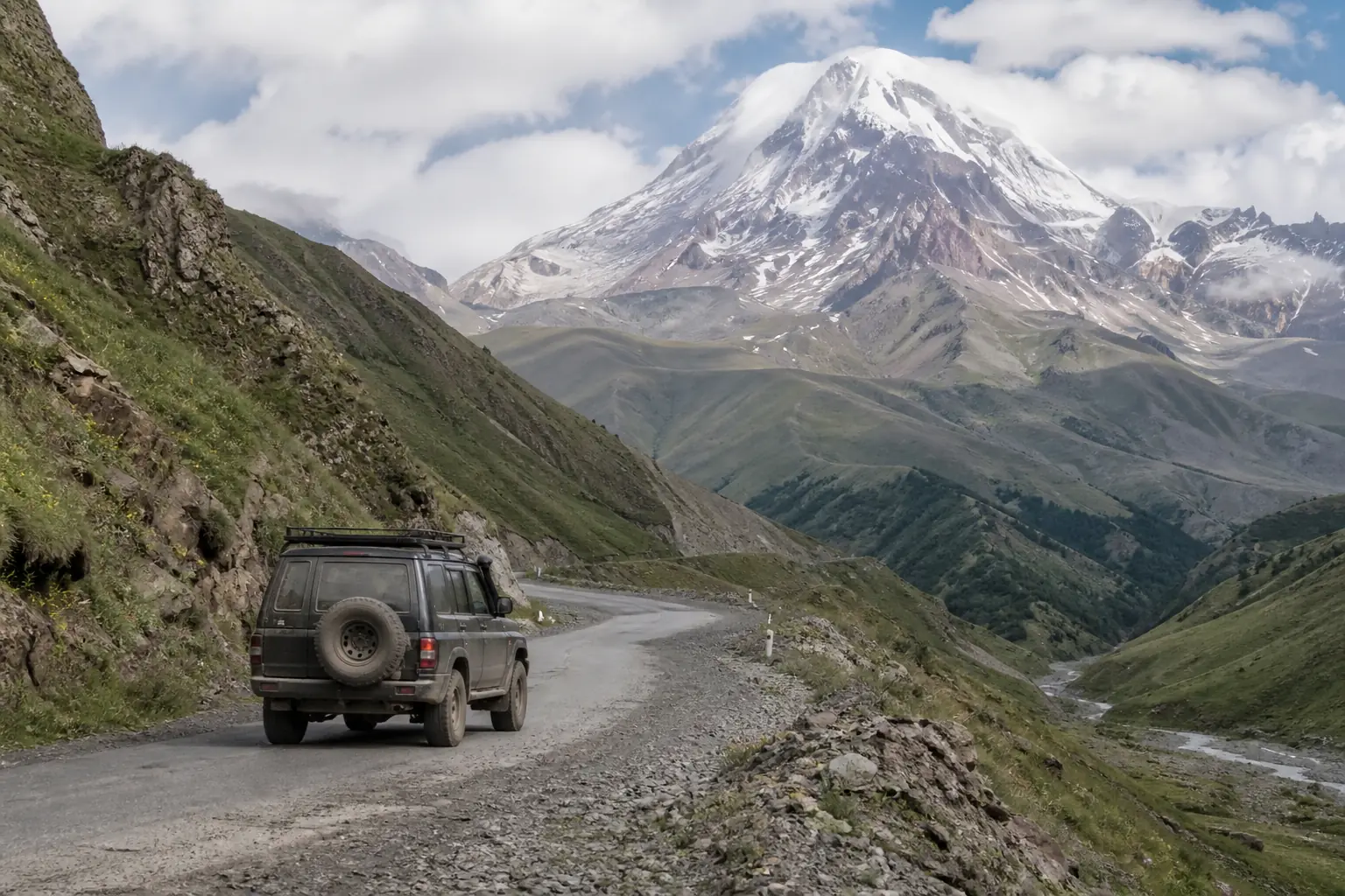
The Georgian Military Highway was cut by the Russian army in the 1780s along a route that traders had used for two thousand years before that. It climbs from 400 metres in Tbilisi to the Jvari Pass at 2,379 metres, and then drops into the Tergi valley under Mount Kazbek. It is the only paved road across the Greater Caucasus in this half of the country, which is why it carries every Armenian truck heading for Russia.
Done properly it is a full day. Done greedily it is three.
The stops, in order
Mtskheta — 20 km, 30 minutes
The old capital, and where Georgia adopted Christianity in 337. Svetitskhoveli cathedral is the eleventh-century one in the middle of town; Jvari monastery is the sixth-century one on the ridge above, looking down at the confluence of the Mtkvari and Aragvi rivers, where you can still see the two different colours of water refusing to mix.
Ananuri — 70 km
A fortified church complex on a promontory above Zhinvali reservoir. Seventeenth century, walls intact, and in May and June the reservoir is a colour that makes people stop the car without being asked.
Pasanauri — 90 km
Lunch. This town claims to have invented khinkali, and while three other towns claim the same thing, this is the one on your route. Order them by the piece, hold them by the top knot, bite a small hole, drink the broth first, and leave the knots on your plate so the table can count.
Gudauri — 120 km
The ski resort, and in summer the paragliding site. Just above it is the Russia–Georgia Friendship Monument, a 1983 Soviet mosaic arc on the edge of a 400-metre drop — genuinely spectacular, and a place where every tour bus stops between 11 and 2, so aim for early or late.
Jvari Pass — 130 km
2,379 metres, and the weather line. It is common to leave Tbilisi in shirtsleeves and cross this pass in sleet in June.
Stepantsminda (Kazbegi) — 156 km
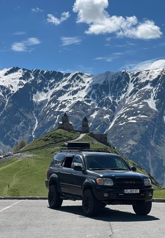
The end of the road for most people, and the base for Gergeti Trinity Church — the fourteenth-century church at 2,170 metres that is on the cover of every book about this country. It is a 1.5–2 hour walk up, or twenty minutes in a 4x4 on a track that genuinely requires one.
How long it really takes
- Non-stop: 3 to 3.5 hours, traffic permitting
- With the stops above: 7 to 8 hours — leave at 8, arrive for dinner
- The unhurried version: two nights, one in Gudauri or Kazbegi, one in Juta or Truso
- Trucks: the queue for the Russian border can back up for kilometres below the pass. Locals overtake it. You should not.
Winter, honestly
The road stays open all year and is cleared aggressively, but it closes for hours at a time after heavy snow or avalanche risk, usually between the pass and Kobi. Winter tyres are a legal requirement from November and a practical one from October. If you are driving yourself, keep a day of slack in the plan and check the road status the night before.
There is no bad weather on the Military Highway, only badly timed departures.
Beyond Kazbegi
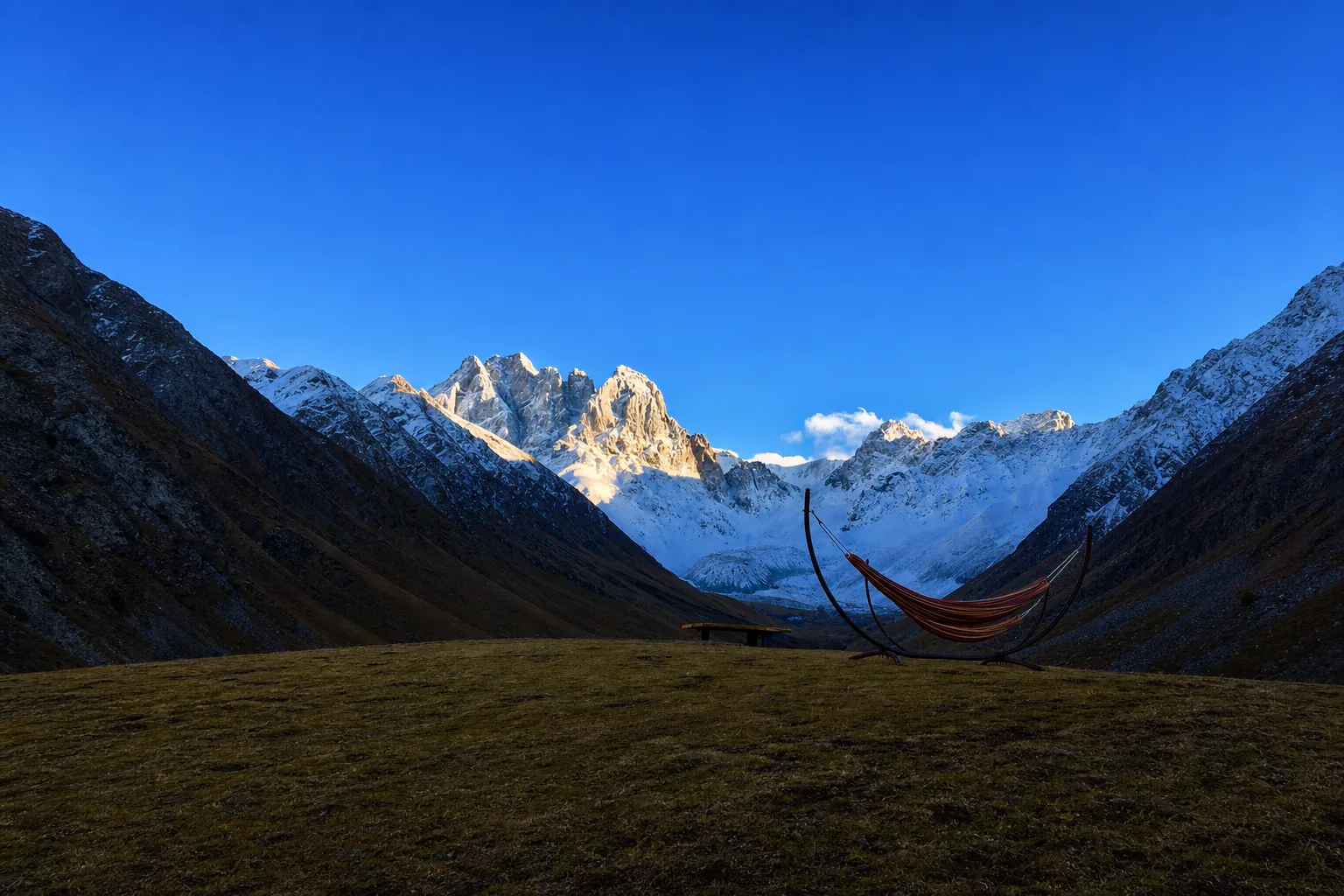
Two side valleys are worth the extra day. Truso, west of Kobi, has travertine springs, mineral pools the colour of rust, and abandoned towers, on a track that needs a 4x4. Juta, east, is the trailhead for the Chaukhi massif — a two-hour walk to an alpine lake under a wall of granite spires that looks like the Dolomites moved east.
Both are built into the Kazbegi journey. If you would rather drive it yourself and just want a route sheet, ask us on the contact page — we will send one.